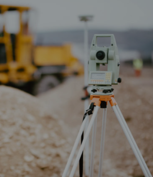
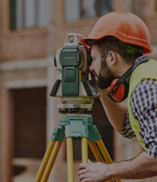
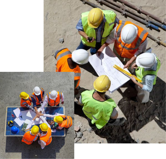
Development and Technology Company for Surveying

We provide land surveying and digital mapping services.

Who We Are
An engineering company providing services with the highest technical standards.

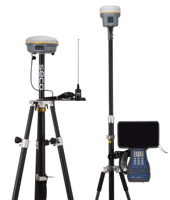
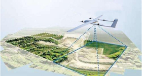
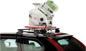
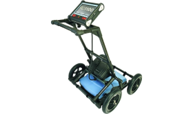
An engineering company offering services with the highest technical standards, featuring a team with extensive experience spanning many years in government sectors, authorities, committees, land expropriation, and all surveying works, property deeds, and studies, as well as creating databases and all that relates to advanced surveying works using drones and 3D surveying with the latest devices and software to provide clients with the best services at the highest quality and output.

about-us

Our Services

The services we offer

Land Surveying Services
  • Production of detailed, topographic, and digital maps.
  • Surveying works for roads and all types of structures.
  • Surveying works for water and sewage networks and stormwater drainage.
  • Establishing permanent ground control points with high technical specifications linked to the geodetic references used in the Kingdom.
  • Planning private property lands.
  • Preparing spatial and descriptive data through field surveys.
  • Creating a Geographic Information System (GIS) database and providing technical support to private and governmental entities.
  • Conducting surveys and creating plans for the existing situation.
  • Conducting surveys and creating plans for the existing situation.
  • Update documents, complete procedures, and apply them on platforms
  • Surveying (surveying reports) with the geographical coordinates of lands and buildings, and following up on them with municipalities and secretariats
  • Fragmentation, division, and merger of deeds, real estate and lands and sorting of plots
  • Sorting real estate units
  • Quantity calculation, excavation and backfilling works, lifting and structural signing
Service Price Quote
services

Also, some of our services

Advanced Surveying Services

  • Surveying using drones.
  • service-1
  • Surveying using Mobile Mapping.
  • service-2
  • 3D surveying using laser scanning (D Laser Scanner 3).
  • service-3
  • Detection and sensing of underground objects and structures such as pipelines using JPR devices.
  • service-4

Our Work

Explore Projects

See projects
portfolio-1
Creating a Geographic Database.

Government Projects

portfolio-1
Technical support and conducting surveying.

Government Projects

portfolio-1
Quantity calculations for contracting companies and individuals.

Private Projects

portfolio-1
Training

Government Projects

Our Team
A qualified and highly competent
engineering and technical team.

Based on the company's commitment to providing the highest quality engineering services, we take pride in having a qualified and highly competent engineering and technical team of experienced professionals and ambitious youth keeping pace with developments in the field of surveying, equipped with the best technologies and modern devices..

about-us

Our Team

Our Partners

Government sector.
Private sector.
Construction and individuals.
Private properties.
Real estate development companies and institutions.
support_agent
phone
mail_outline
help_outline